We are here to help you in your journey!
Geospatial Solutions
Overview
3MK Software Solutions Geospatial Services is a global service provider, delivering technology driven innovative business solutions that integrate geographic information from AM/FM/GIS/CAD services. Our leading edge approaches and technologies for data collection, processing and management ensure highly accurate solutions that allow you to overcome complex challenges with confidence.
Key Facts
- Maintenance of IT/GIS Systems
- Data integrity issues
- Maintaining and tracking assets and resources
- Integrating legacy data repositories
3MK Software Solutions Offerings
3MK Software Solutions Geospatial offer services with the primary objective of providing best innovative solutions and database updates to enhance the efficiency and quality of the product, with significant experience in providing Geospatial data and application development to clients worldwide.
Our Geospatial Services include:
- GIS Implementation Roadmap, GIS Technology Evaluation, Application/Data Migration Strategy, Business System Integration
- Preparing and updating of spatial data, analyzing existing dataset, data conversion, modeling, integration services, Data QA/QC Services.
- GIS data models, Application development, GIS enabled – infrastructure planning services, assets and facilities, Integration with business systems
- Outsourced geospatial operations support, Application maintenance, Remote Management services
Our Geospatial platform and vendor independent approach allows us to use the best-of-breed technologies from AutoCAD, Micro Station, MapInfo, Arc GIS, to develop successful solutions.
- Flood Mapping
- Geological Resource Mapping
- Local Area Plan Mapping
- Parcel Mapping
- Marine Navigation Mapping
- Utility Mapping (Water, Electrical, Gas and Telecom)
- Rail &Road Network of Urban and Rural Mapping
- Real Estate Mapping
- Historical Land use Mapping
- Transport Mapping
- Topographic Mapping
- Cadastral Mapping
GIS Data Management Services (Map Creation, Conversion and Updation)
- Naming & Address geo-coding maps
- Local Area Planning maps
- Parcel Maps
- Electronic Navigational Maps
- Geospatial Urban and Rural mapping of Rail &Road Network
- Real Estate Maps
- Historical Land use Maps
- Traffic signboards and Junction views conversion in Road Network
- Hydro, Park and Wood land features using Aerial and satellite images
Benefits
- Cost effectiveness ensures high ROI
- Efficient asset and work force management
- Lower cost service with better coverage
- Avoidance of data degradation
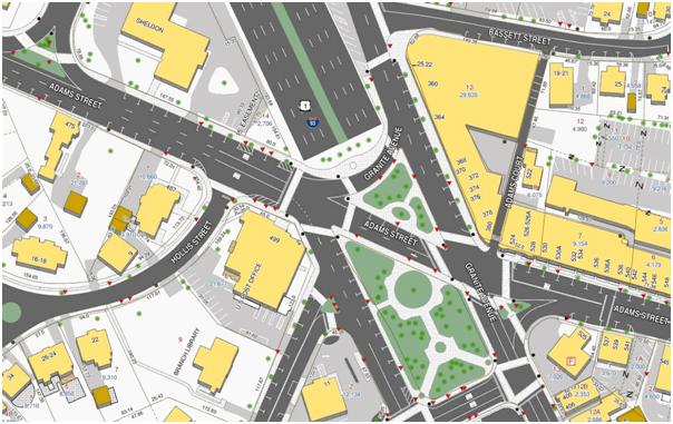
GIS Mapping:
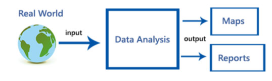
GIS mapping, known as Geographic Information System, which assimilate hardware, software, and data for capturing, managing, analyzing, and displaying all forms of geographically referenced information, which is used to linkage data to a specific geographic area or location.
GIS allows us to view, understand, question, interpret, and visualize data in many ways that reveal relationships, patterns, and trends in the form of maps, globes, reports, and charts.
3MK Software Solutions prime focus of our business is the GIS mapping and analysis service with a special emphasis on respective sector analysis. We capture the digital data for wide range of business from vivid sources like topography sheets, satellite imagery…e.t.c. We are also capable of handling large scale scanning needs and processing data to geo-reference to real world locations.
3MK Software Solutions personnel have extensive tenure on GIS projects. We have an in-depth knowledge of AutoCAD, Microstation, MapInfo and Arc GIS suite of products.
Benefits
- Cost Savings and Increased Efficiency
- Improved Communication
- Managing Geographically